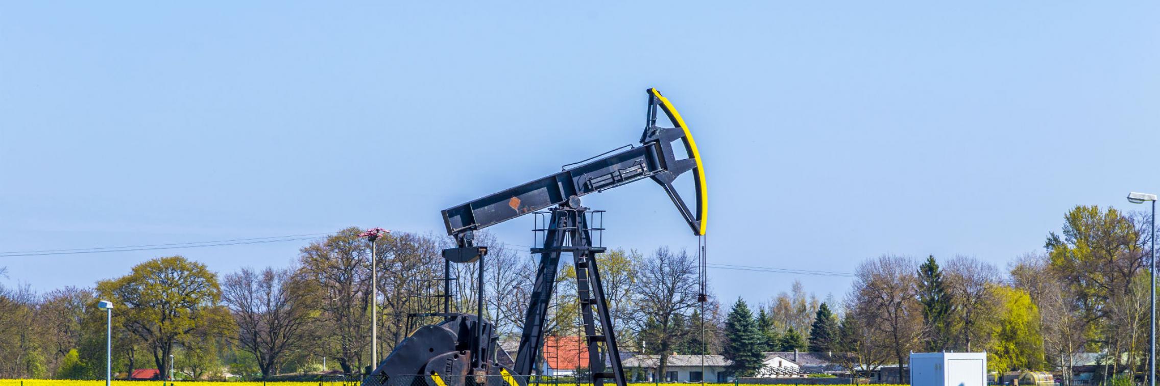
What's really going on during fracking
How do fluids such as water, gas and petroleum move in the earth?
Stakeholders such as farmers and residents in regional areas of Australia need to know if unconventional energy resource development will compromise groundwater resources for social licence to operate (SLO). Current methods of monitoring impacts, such as observation bores and microseismic arrays, are seen as insufficient.
With 4DMT, that changes now.
The Institute for Mineral and Energy Resources (IMER) has created a geophysics technique, using magnetotellurics (MT), to observe how fluids move over a period of time, such as when pumped by an operator. We can now map reservoirs and other underground water aquifers before, during and after stimulation. We believe that this technology can measure changes during operations, including fracture growth and the effects (if any) on shallower aquifers for agricultural or potable water production, and provide new types of baseline environment data.
Geophysics has been used to map the earth and the minerals in it for a long time. But until now they have never been used continuously over time to provide dynamic information.
To refine the technique, which we call 4DMT, our researchers monitored the entire fluid flow cycle - a world first - in a Cooper Basin shale gas frack before, during and after hydraulic stimulation. They detected changes over time.
Next, they tested the technique in a coal seam gas field and mapped the variability in gas production across a well field. The low cost technique is still being refined, but the potential benefits to industry, farmers concerned about impacts on groundwater, regulators and environment groups are enormous.