
Arboretum map and aerial view
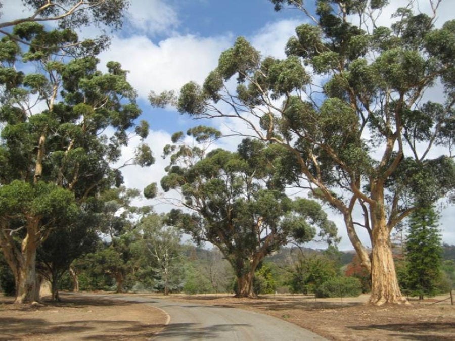
A catalogue is maintained periodically of every specimen, by scientific and common names, family, distribution, date planted and individual tree number and locality.
Download Climate and Soil information of the Waite Arboretum.
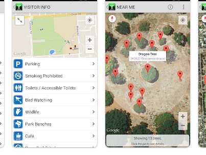
The Waite Arboretum App is a free, interactive guide designed for use in the field as you explore the Arboretum. It provides maps, themed walks and detailed information on more than 2,300 trees from around the world. Using your phone’s GPS, the app helps you identify nearby trees and learn about their origins Available for iOS and Android devices.